Tylerton, Smith Island, MD

Three Juvenile Osprey on channel marker 11
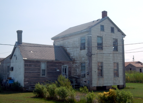
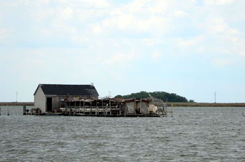
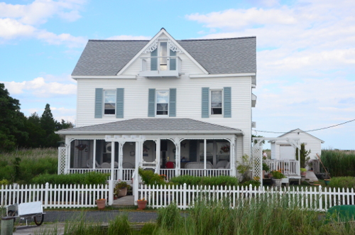
First View of Tylerton, Md. on Smith Island

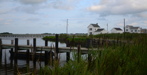
TylertonThe “Port of Entry” is at the dock by the crain.
We’ve left Virginia behind and headed to the Eastern Shore of Maryland. This stop is on Tylerton one of three villages on Smith Island, Md, a small cluster of islands on the Maryland Virginia border. Smith Island lies about 9 miles east of Crisfield, the currently the only place to catch a boat that will take one to Smith Island. The other half of the cluster of islands is Tangier Island, Va. about 10 miles south. Listening to native familys takes one back in time, the dialect comes from Cornwall, the language is English but at times can be hard to understand. “Smith Island” consists of many pieces of land, the largest town is Ewell, then the town of Rhodes Point, and the smallest is Tylerton. Each on its own island.
The necessities
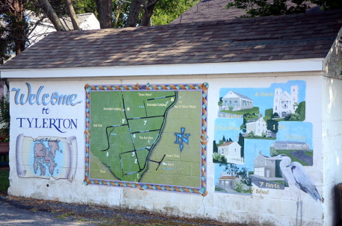
The “Welcome Center”. It’s the first stop after after fetching baggage from the “Caption Jason II”, the only way on and off the island.
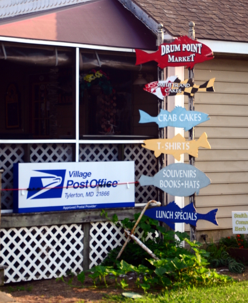
Tylerton does have its own Market and Post Office.
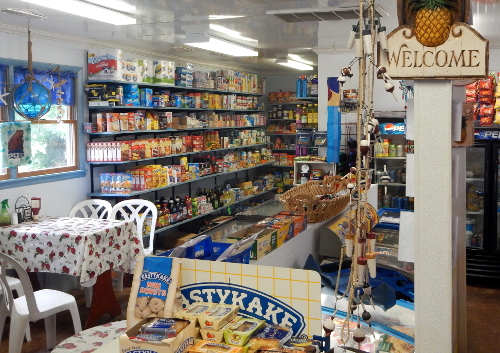
The Drum Point Market supplies the necessities of life as well as delicious sandwiches for made to order.

Yes, those antique PO Boxes are still used.
What’s in Tylerton
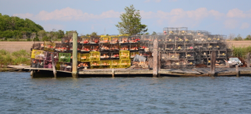
The main “industry” of the island is crabbing, though crabs are not as plentiful as they once were. Almost everywhere one looks you can see “crabpots“. Crabpots are one of the methods used to catch crabs.

 Oyster tongs, used to pull Oysters from the bottom during the open season.
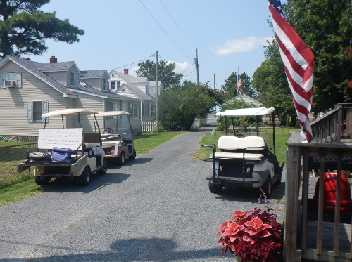
Getting around in Tylarton
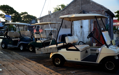
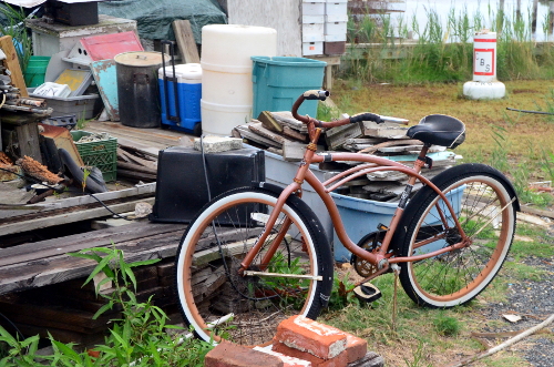
With a population of about 50 the longest street, Tylerton Rd is less than 1/2 miles long. Two Firetrucks, One Ambulance, and one Pick-Up truck make up the fleet of vehicles. However, Golf Carts abound, as well a bicycles. Most of the bikes I saw were “Beach Bikes” , one speed with coaster brakes. Long distance biking just isn’t done in Tylerton. The few I saw up close were wearing a Huffy Logo.
Outside the Drum Point Market at lunch time, plenty of parking space
Crowded parking at the dock just before the morning run to Crisfield.
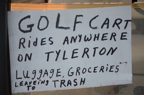
Not a Yellow Cab, or even an UBER Car.
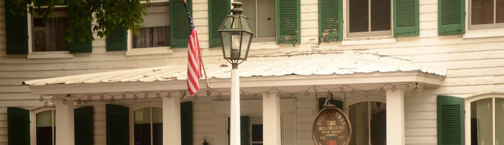
Staying on the island
Before I take a photo stroll I want to mention, there are places to stay, one is “The Inn Of Silent Music“. The inn, a B&B serves wonderful breakfasts and dinners. Lunch are available at the Drum Point Market. If you time your visit right the Inn might serve a Smith Island Layer Cake. On the night I was lucky enough to have a piece, one of the layers included Peaches.


Sunset from the Inn Of Silent Music
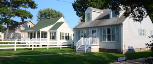
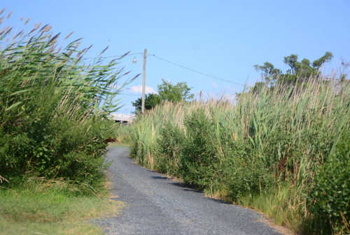
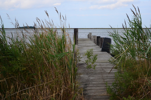
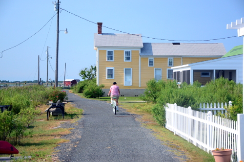
Sights while just walking around Tylerton